

Browse Items (31227 total)
- Collection: Morrison Studio Collection
Sort by:
Girl on a Bench
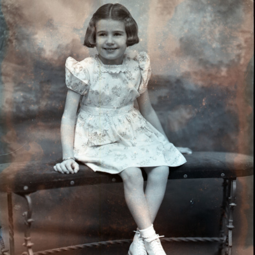
Unidentified girl with short hair parted in the middle, is seated on a bench with her ankles crossed.
Unknown Woman
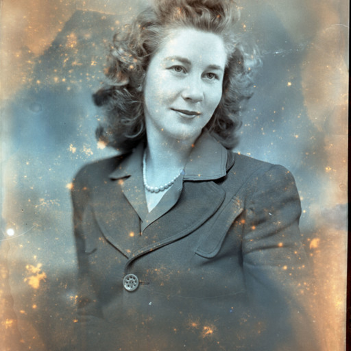
Portrait photograph of an unidentified woman with shoulder-length curly hair and wearing faux pearls with her outfit.
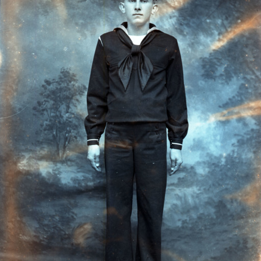
U.S. Navy Sailor
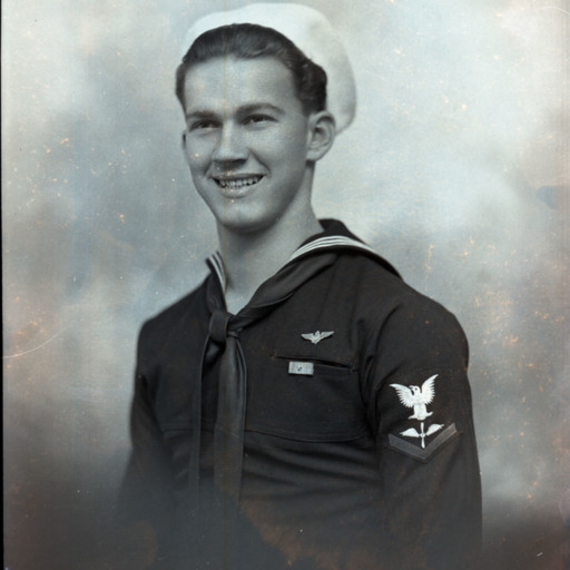
Portrait photograph of an unidentified young man wearing a U.S. Navy uniform and white cap.
U.S. Navy Sailor
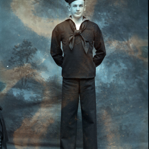
Unidentified young man is standing with both hands behind his back and wearing a U.S. Navy uniform and cap.
Three Children
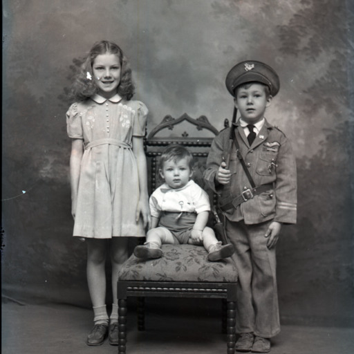
Three unidentified children of varying ages are posed together with a chair.
The boy on the right is dressed in a military-styled outfit with a toy rifle on his shoulder and a pistol strapped around his waist.
Probably, these were siblings.
The boy on the right is dressed in a military-styled outfit with a toy rifle on his shoulder and a pistol strapped around his waist.
Probably, these were siblings.
Boy on a Chair
Unidentified boy is posed on the edge of a chair and wearing shorts with a plaid-like jacket and shirt.
Young Girl on a Bench

Unidentified young girl with a bow in her straight hair, is seated on a bench with one leg under the other.
Young Boy on a Bench

Unidentified young boy is seated on a bench with one leg under the other one and his arm resting on the bench's arm.
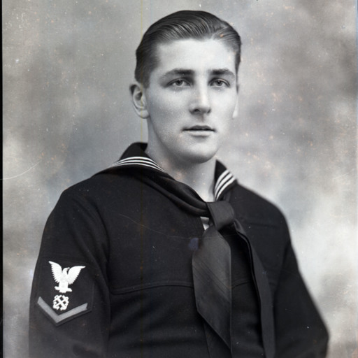
U.S. Navy Sailor
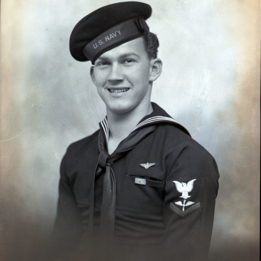
Portrait photograph of an unidentified young man in a U.S. Navy uniform and cap.
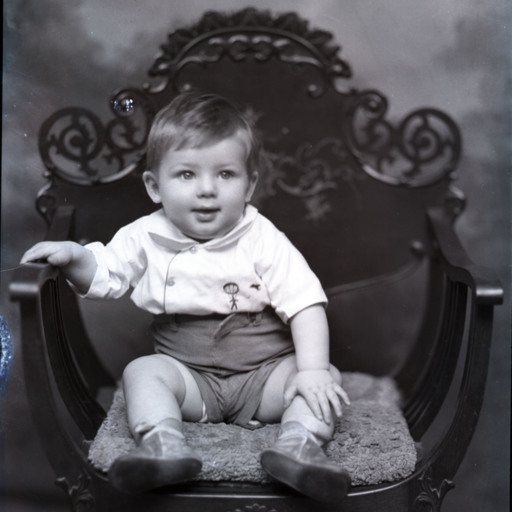
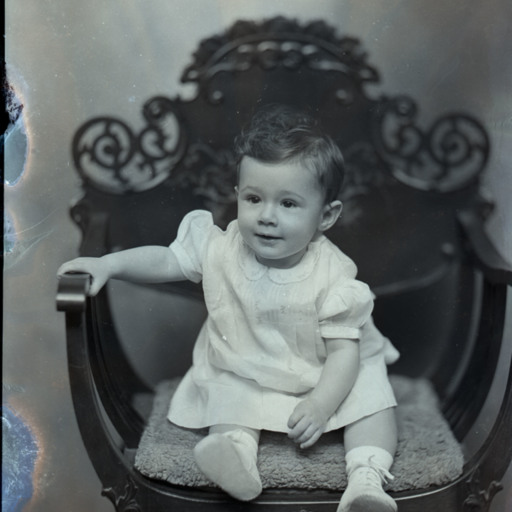
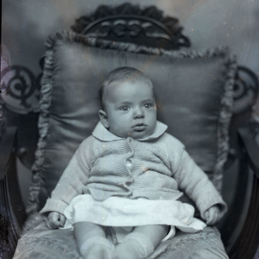
Baby on a Chair
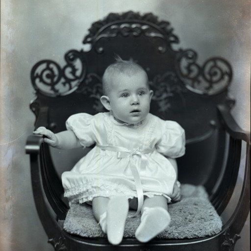
Unidentified baby is seated on a pillow on a chair.
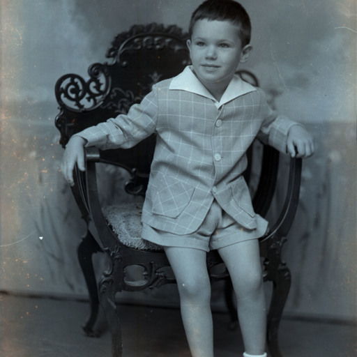
Boy on a Chair
Unidentified young boy in shorts is seated on a pillow on a chair.
Young Girl

Unidentified young girl with short hair parted in the middle, is posed on a bench with her legs tucked to one side.
Woman With Girl
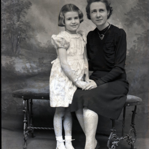
Unidentified woman is seated on a bench with an unidentified girl standing beside her.
Possibly, this was a mother and her child.
Possibly, this was a mother and her child.
Couple
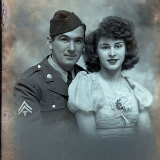
Portrait photograph of an unidentified young man in a U.S. Army uniform seated beside an unidentified young woman with curly hair and a corsage on the front of her dress.
Probably, this was a husband and wife.
Probably, this was a husband and wife.
Graduate
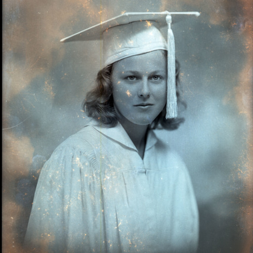
Portrait photograph of an unidentified young woman in her graduation cap and gown.
U.S. Navy Sailor
Portrait photograph of an unidentified young man in a U.S. Navy uniform.
U.S. Marine
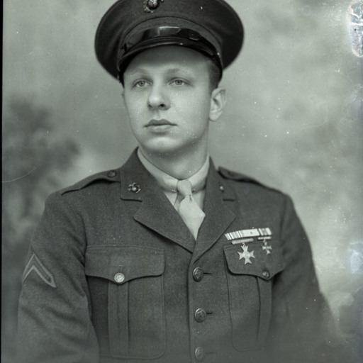
Portrait photograph of an unidentified young man in a U.S. Army uniform and cap.
Woman With Short Hair
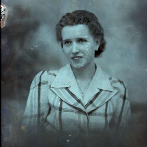
Portrait photograph of an unidentified woman with short curly hair and wearing a necklace with her plaid jacket and blouse.
Woman Reading
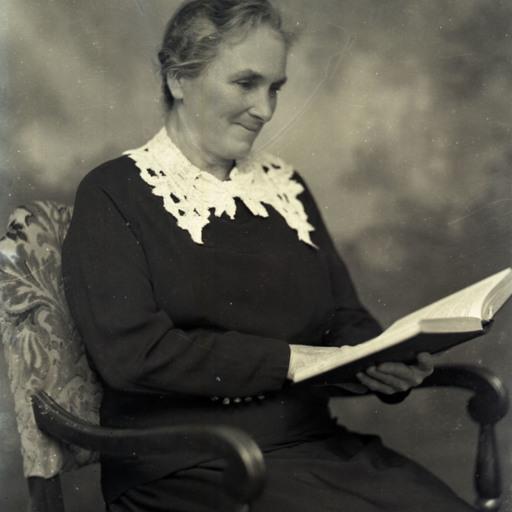
Unidentified older woman is seated on a chair and reading an open book in her hands.
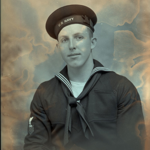
James Arthur "Jim" Strosnider, Jr.
Photograph of James A. "Jim" Strosnider, Jr. of Strasburg, standing in his U.S. Naval uniform.
Jim Strosnider was born in Strasburg, a son of the late James Arthur (1886-1960) and Virgie Alice (Shillingburg) (1889-1975) Strosnider, Sr.
He was a…
Jim Strosnider was born in Strasburg, a son of the late James Arthur (1886-1960) and Virgie Alice (Shillingburg) (1889-1975) Strosnider, Sr.
He was a…
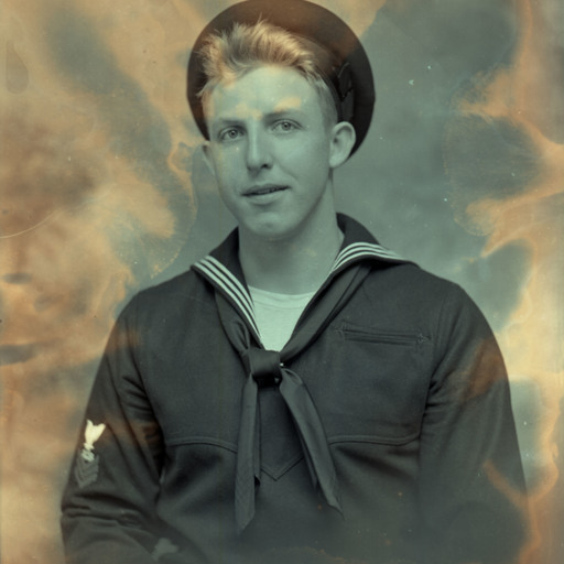
James Arthur "Jim" Strosnider, Jr.
Portrait photograph of James A. "Jim" Strosnider, Jr. of Strasburg, wearing his U.S. Naval uniform.
Jim Strosnider was born in Strasburg, a son of the late James Arthur (1886-1960) and Virgie Alice (Shillingburg) (1889-1975) Strosnider, Sr.
He…
Jim Strosnider was born in Strasburg, a son of the late James Arthur (1886-1960) and Virgie Alice (Shillingburg) (1889-1975) Strosnider, Sr.
He…
Young Child on a Chair
Unidentified young child is seated on a pillowed chair.
Baby on a Chair
Unidentified baby is wearing a buttoned knit sweater and propped on pillows on a chair.
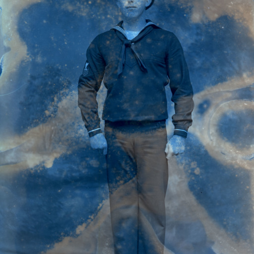
U.S. Navy Sailor Standing
Unidentified young man is standing in a U.S. Navy Uniform and cap.