

View of Route 11 - Woodstock
Files
Title
View of Route 11 - Woodstock
Subject
Roads - Virginia - Woodstock
United States Highway 11
Woodstock (Va)
Description
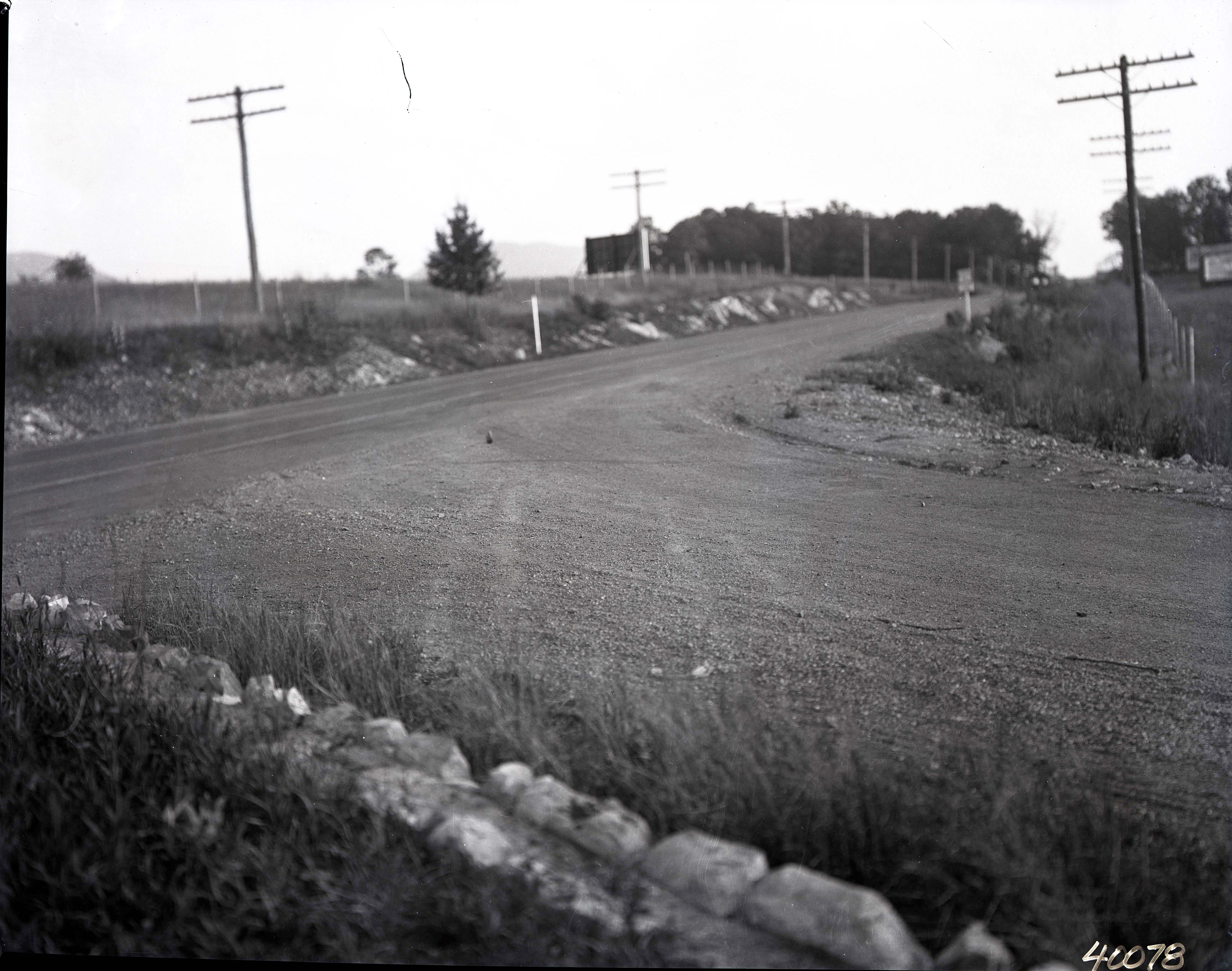
Photograph showing the view looking south from the intersection of US Route 11 (now Main Street) and Fairground Road in Woodstock Virginia.
Creator
Morrison Studio
Source
Morrison Studio Collection - Shenandoah County Historical Society
Publisher
Shenandoah County Library
Date
Undated
Contributor
Location identified in 2026 by Bill Wine.
Rights
IN COPYRIGHT - NON-COMMERCIAL USE PERMITTED
Relation
Photographs from the same location and time appear in Morrison Studio Collection numbers 040367, 040368, and 040078.
Identifier
040078
Original Format
Film Negative
Physical Dimensions
8x10 inches
Collection
Citation
Morrison Studio, “View of Route 11 - Woodstock,” Shenandoah County Library Archives, accessed July 18, 2026, https://archives.countylib.org/items/show/74394.
Comments
Bill Wine
This would be the intersection of Fairground Road & Route 11 Looking South. Grabill's Grading Shed is just out of the photo. The group of white oak trees off in the distance is where Mac's Greenhouse and the older townhouses are located today, along with Skyline Terrace Nursing Home. I've done considerable angle and landscape comparisons with the 1937 Aerial photos of this spot. With the barely visible mountaintop in the background, this is the only place where all of these features converge.