Browse Items (403 total)
- Tags: Mt. Jackson
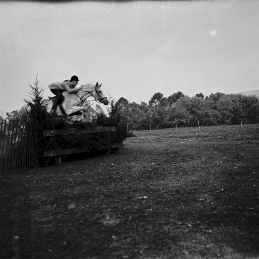
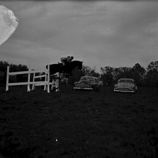
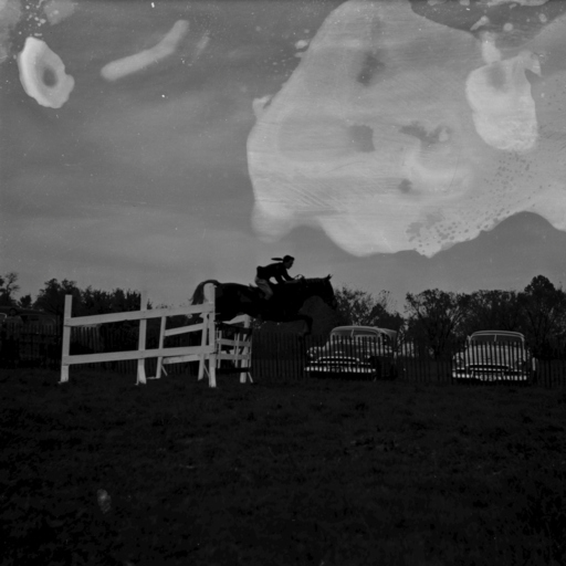
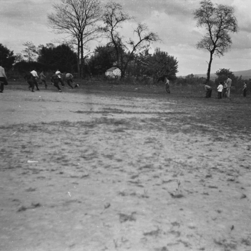
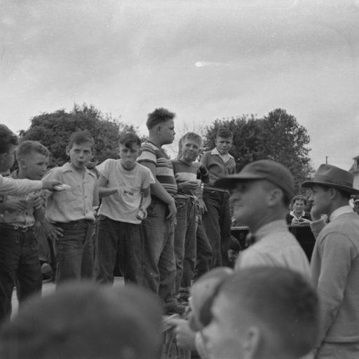
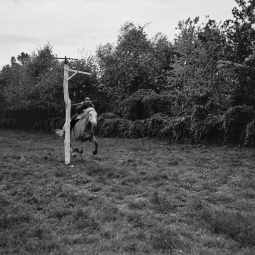
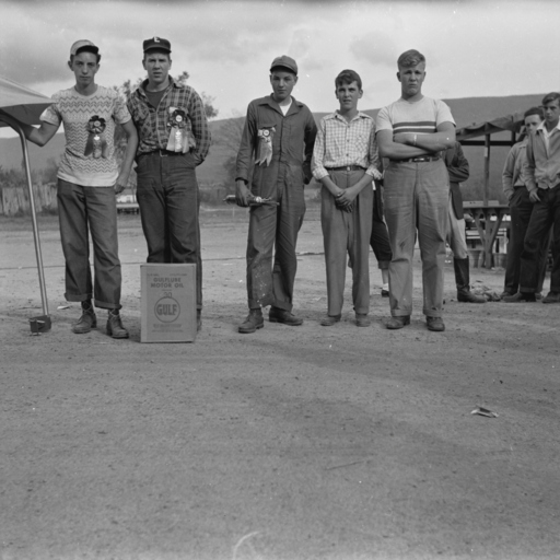
Triplett School Fair 1950
Tags: Fairs, Horses, Mt. Jackson, Schools, Shenandoah County, Students, Triplett, Virginia
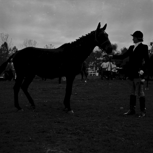
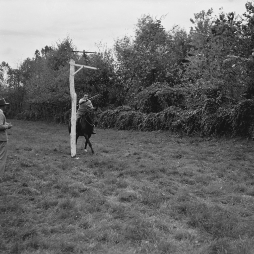
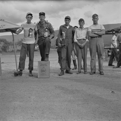
Triplett School Fair 1950
Tags: Fairs, Horses, Mt. Jackson, Schools, Shenandoah County, Students, Triplett, Virginia
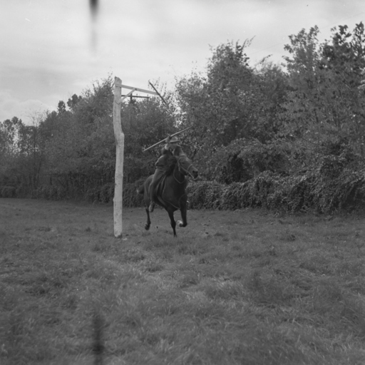
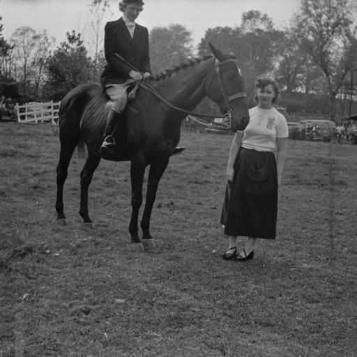
Triplett School Fair 1950
Tags: Fairs, Horses, Mt. Jackson, Schools, Shenandoah County, Students, Triplett, Virginia
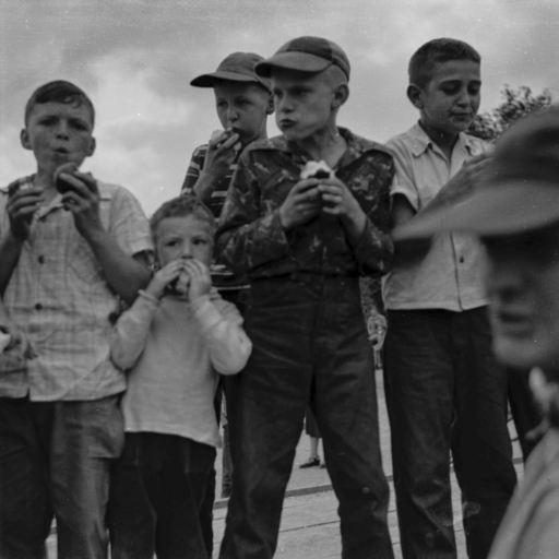
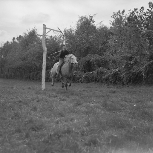
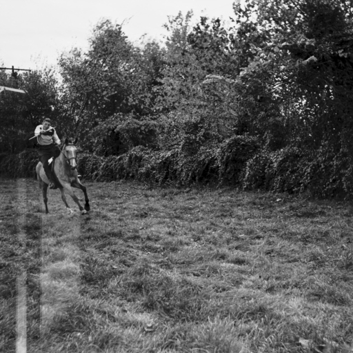
Triplett School Fair 1950
Tags: Fairs, Mt. Jackson, Schools, Shenandoah County, Students, Triplett, Virginia
Triplett School Fair 1950
Tags: Fairs, Mt. Jackson, Schools, Shenandoah County, Students, Triplett, Virginia
Triplett School Fair 1950
Tags: Fairs, Horses, Mt. Jackson, Schools, Shenandoah County, Students, Triplett, Virginia
Triplett School Fair 1950
Tags: Fairs, Mt. Jackson, Schools, Shenandoah County, Students, Trees, Triplett, Virginia
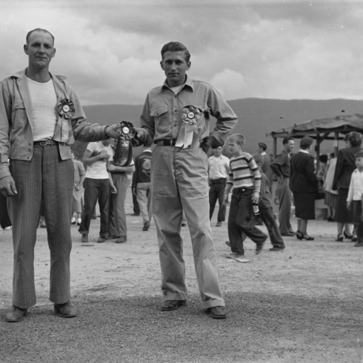
Triplett School Fair 1950
Tags: Fairs, Miller, Mt. Jackson, Schools, Shenandoah County, Students, Triplett, Virginia, Ziegler
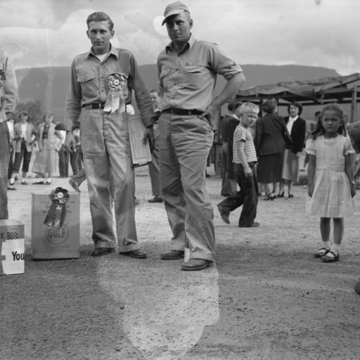
Triplett School Fair 1950
Tags: Fairs, Mt. Jackson, Schools, Shenandoah County, Students, Triplett, Virginia
Triplett School Fair 1950
Tags: Fairs, Mt. Jackson, Schools, Shenandoah County, Shilling, Students, Triplett, Virginia
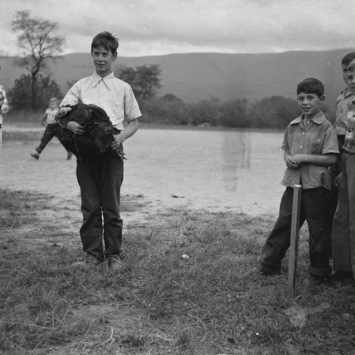
Triplett School Fair 1950
Tags: Fairs, Mt. Jackson, Pigs, Schools, Shenandoah County, Students, Triplett, Turkeys, Virginia
Triplett School Fair 1950
Tags: Fairs, Mt. Jackson, Schools, Shenandoah County, Students, Triplett, Virginia
Triplett School Fair 1950
Tags: Fairs, Mt. Jackson, Schools, Shenandoah County, Students, Triplett, Virginia
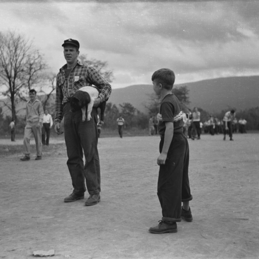
Triplett School Fair 1950
Tags: Fairs, Hawkins, Mt. Jackson, Pigs, Schools, Shenandoah County, Students, Triplett, Virginia
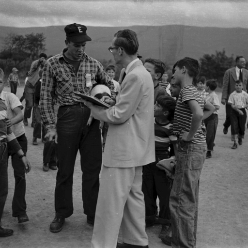
Triplett School Fair 1950
Tags: Fairs, Hawkins, Mt. Jackson, Pigs, Schools, Shenandoah County, Students, Triplett, Virginia
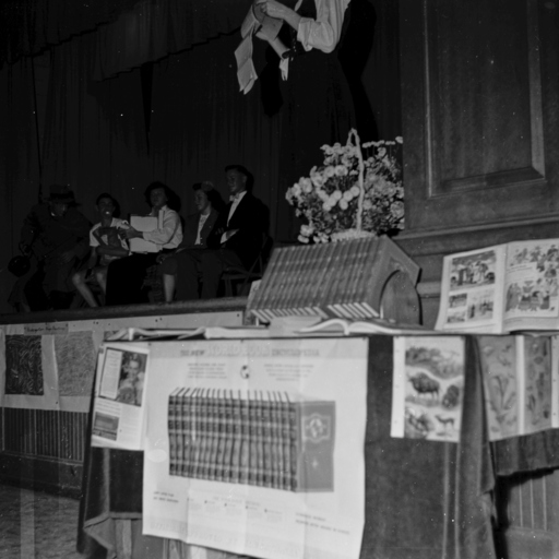
Triplett School Fair 1950
Tags: Books, Fairs, Mt. Jackson, Schools, Shenandoah County, Students, Triplett, Virginia
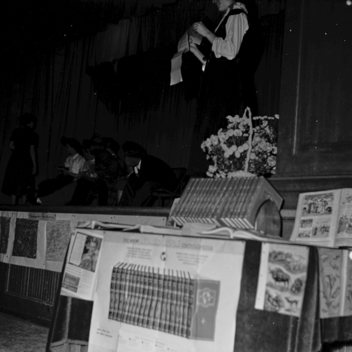
Triplett School Fair 1950
Tags: Books, Fairs, Mt. Jackson, Schools, Shenandoah County, Students, Triplett, Virginia
Triplett School Fair 1950
Tags: Fairs, Horses, Mt. Jackson, Schools, Shenandoah County, Students, Triplett, Virginia
Triplett School Fair 1950
Tags: Fairs, Horses, Mt. Jackson, Schools, Shenandoah County, Students, Triplett, Virginia
Triplett School Fair 1950
Tags: Fairs, Horses, Mt. Jackson, Schools, Shenandoah County, Students, Triplett, Virginia
Triplett School Fair 1950
Tags: Fairs, Horses, Mt. Jackson, Schools, Shenandoah County, Students, Triplett, Virginia
Triplett School Fair 1950
Tags: Fairs, Hawkins, Miller, Mt. Jackson, Schools, Shenandoah County, Students, Triplett, Virginia
Triplett School Fair 1950
Tags: Fairs, Hawkins, Miller, Mt. Jackson, Schools, Shenandoah County, Students, Triplett, Virginia
Triplett School Fair 1950
Tags: Fairs, Horses, Mt. Jackson, Schools, Shenandoah County, Sigler, Students, Triplett, Virginia
Triplett School Fair 1950
Tags: Fairs, Horses, Mt. Jackson, Schools, Shenandoah County, Students, Triplett, Virginia

